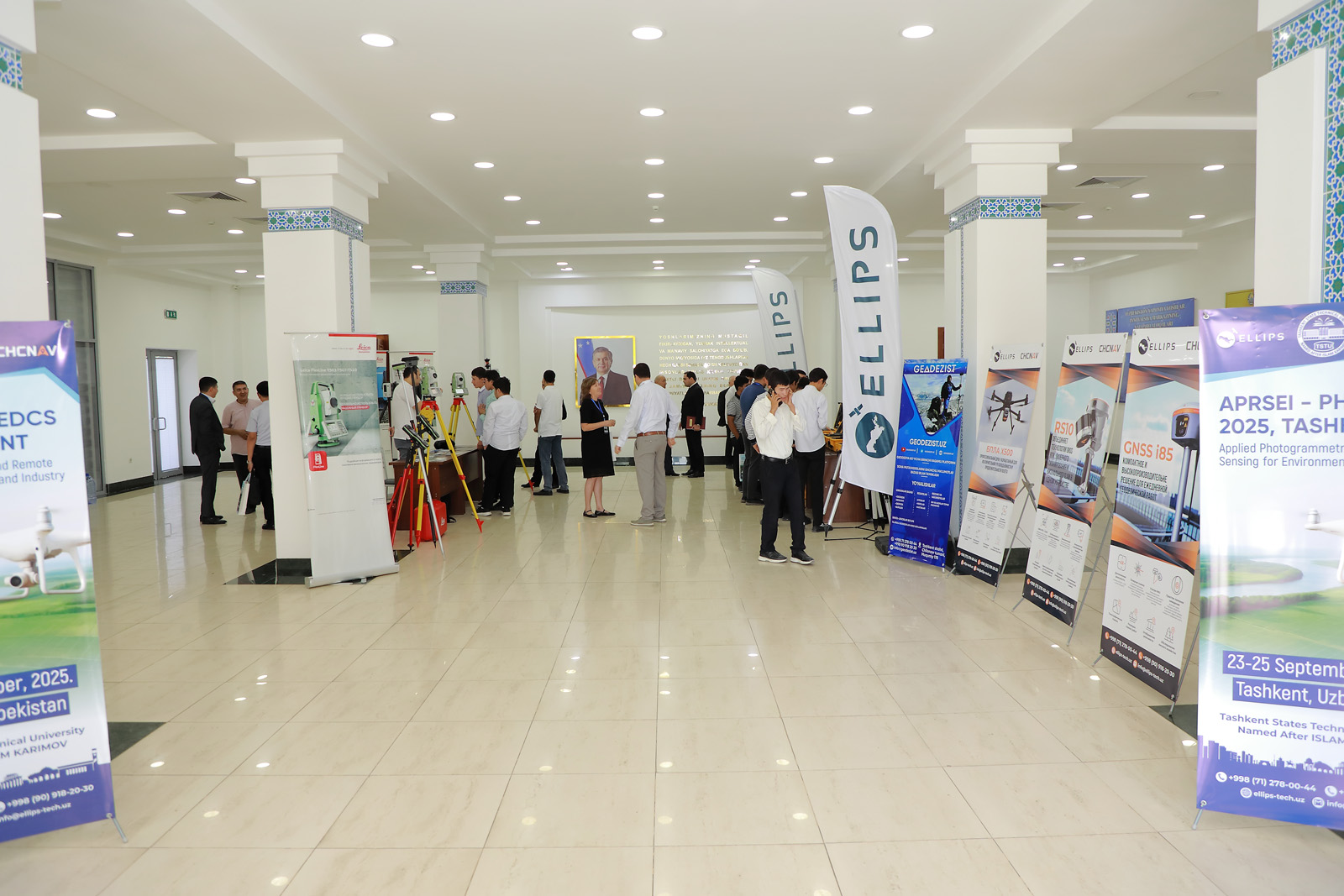
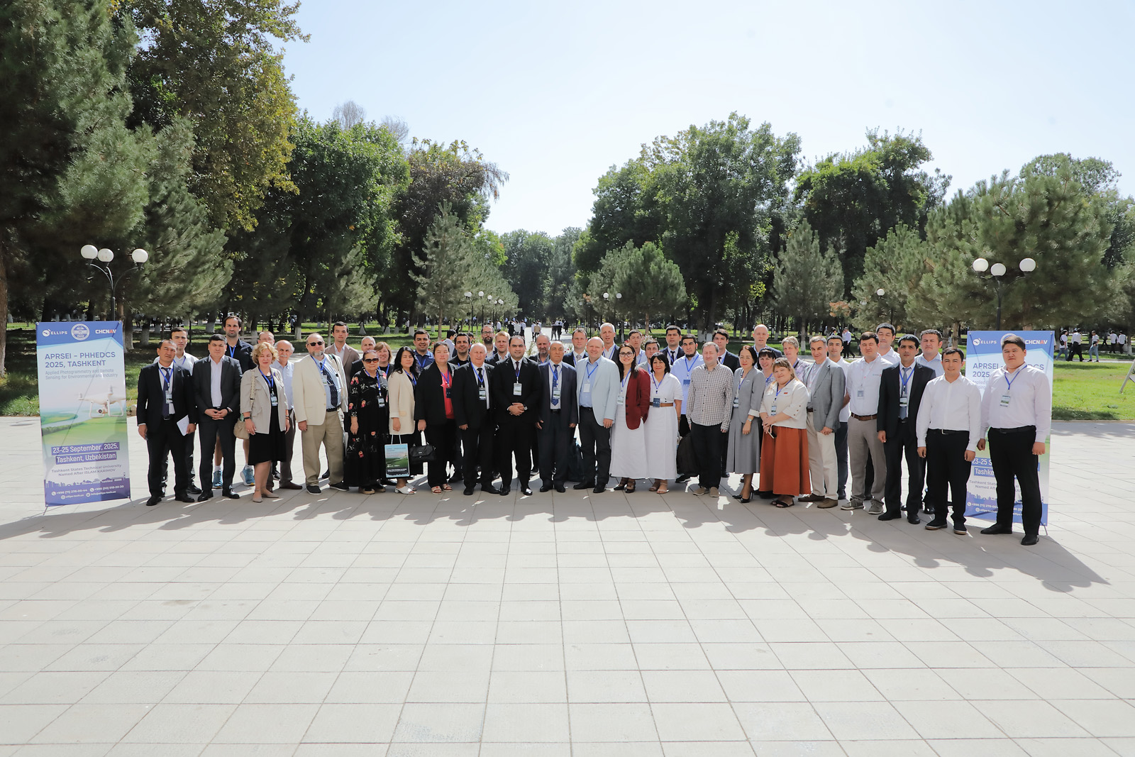
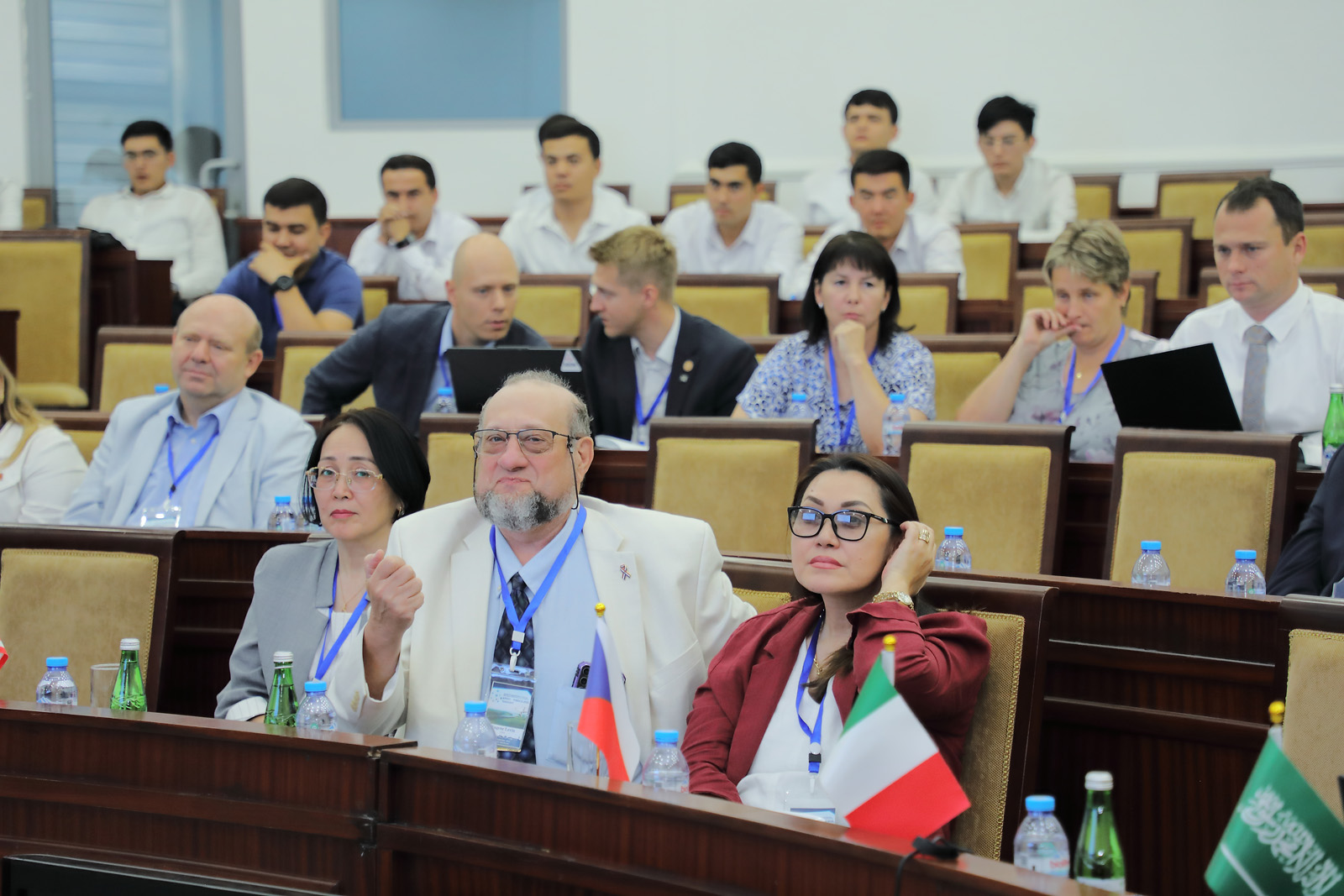
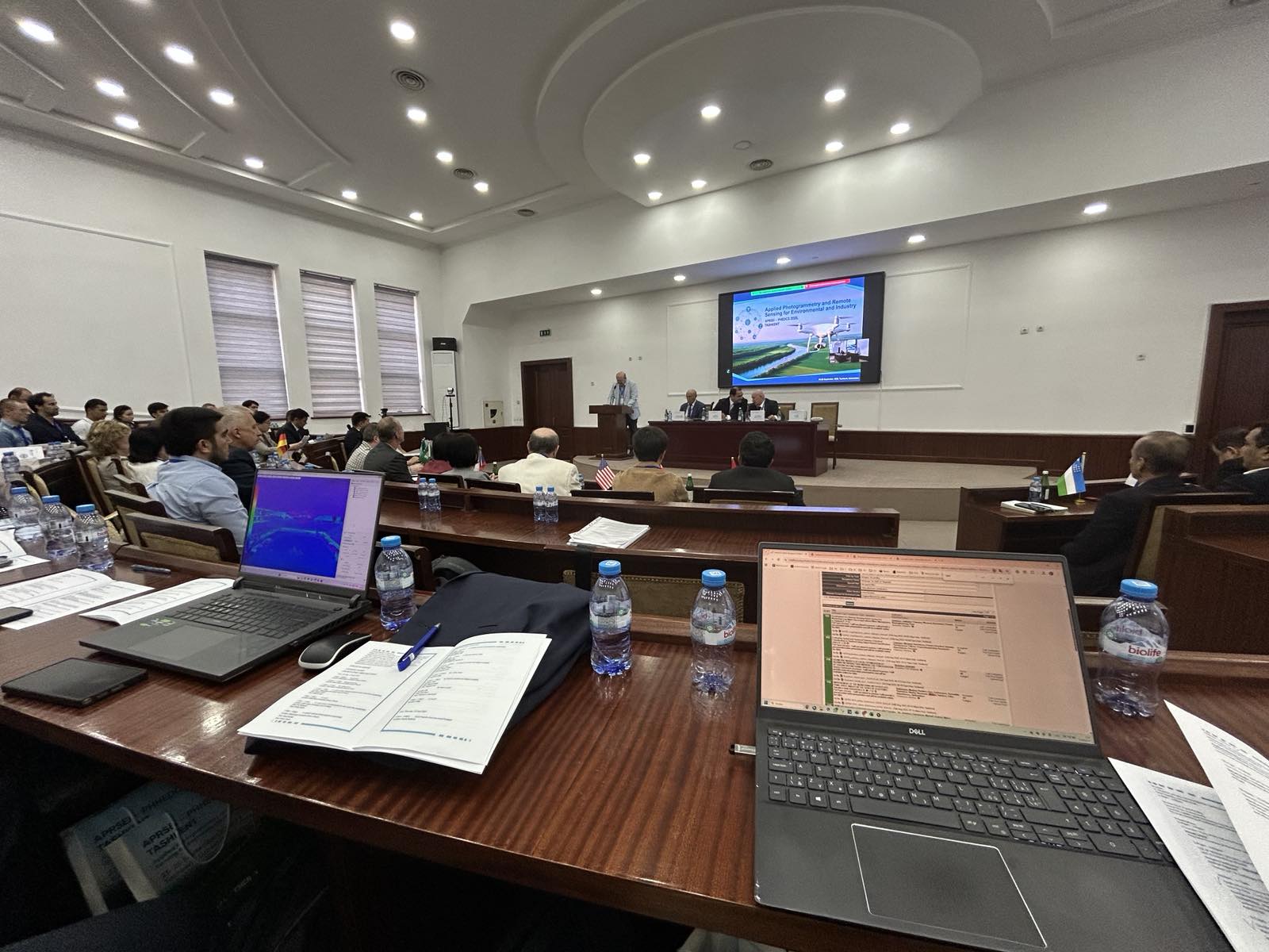
From September 23 to 25 2025, the Tashkent State Technical University named after Islam Karimov (Tashkent, Republic of Uzbekistan), hosted the international conference “Applied Photogrammetry and Remote Sensing for Environmental and Industry” initiated by the ISPRS Technical Commission WG V/6.
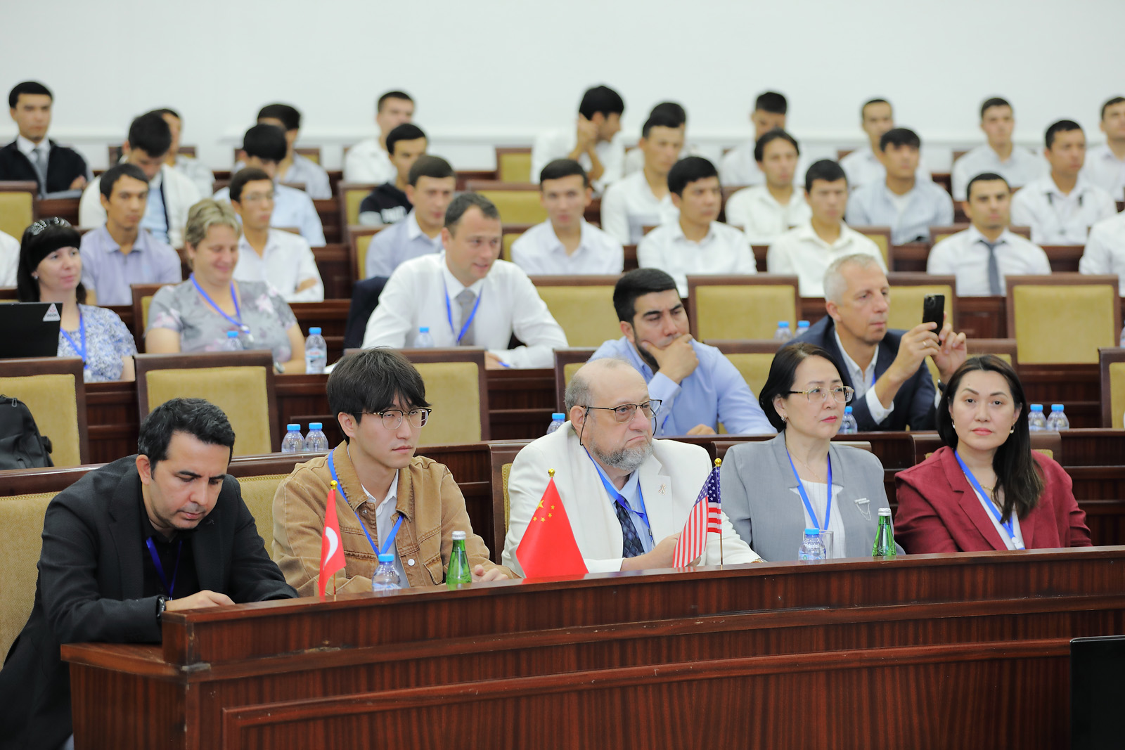
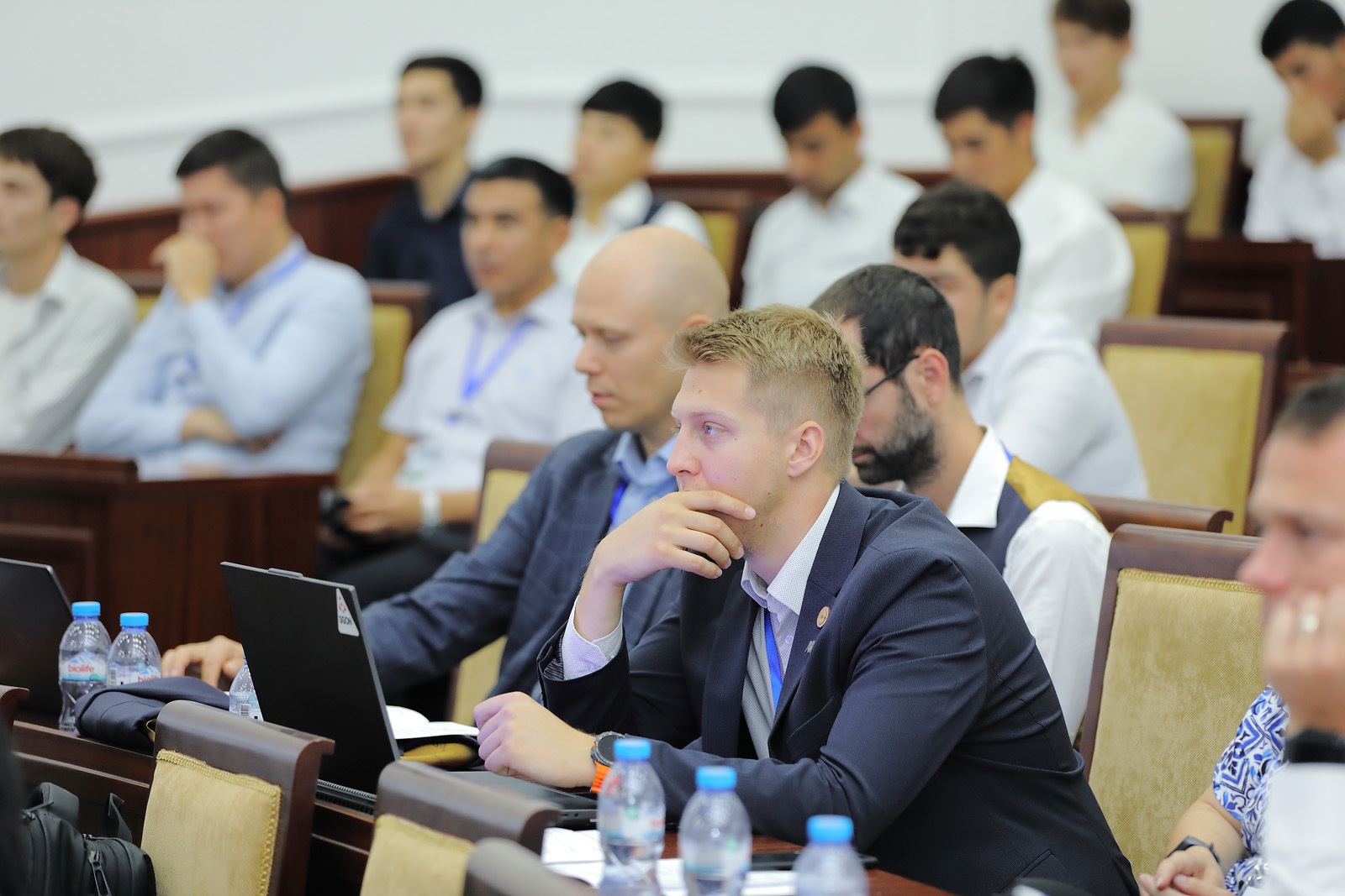
The event brought together leading scientists, researchers, and entrepreneurs from the Czech Republic, Uzbekistan, USA, Turkey, Italy, China, Germany, Russia, Saudi Arabia, Kazakhstan, and other countries.
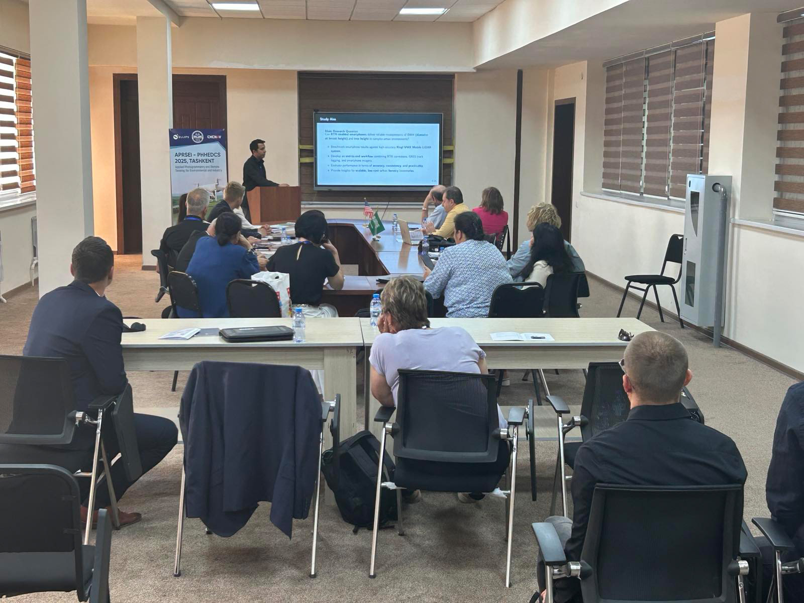
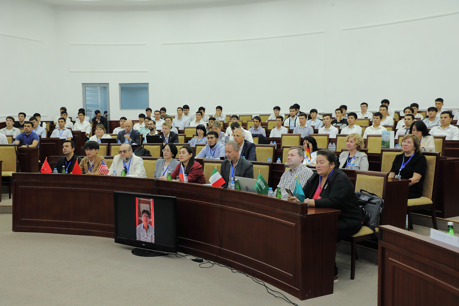
Over the course of three days, participants exchanged scientific ideas and practical experience, discussing modern trends in geospatial technologies, photogrammetry, remote sensing of the Earth, unmanned aerial systems, laser scanning, and open-source platforms for spatial data processing.
Special attention was paid to the integration of professional and public geospatial data into engineering and environmental tasks. The conference served as a platform for discussions on the role of geoinformation technologies and remote sensing of the Earth in addressing urgent issues of industry and sustainable development.
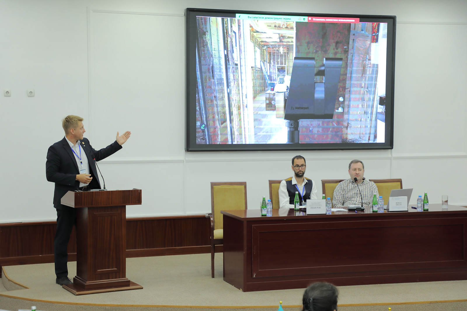
The main topics of the presented reports included:
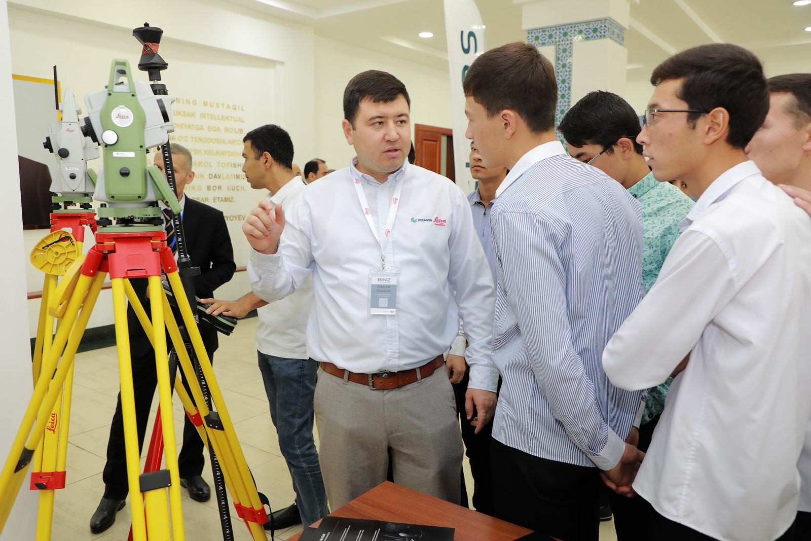
modern methods of photogrammetry and their application in engineering surveys and construction;
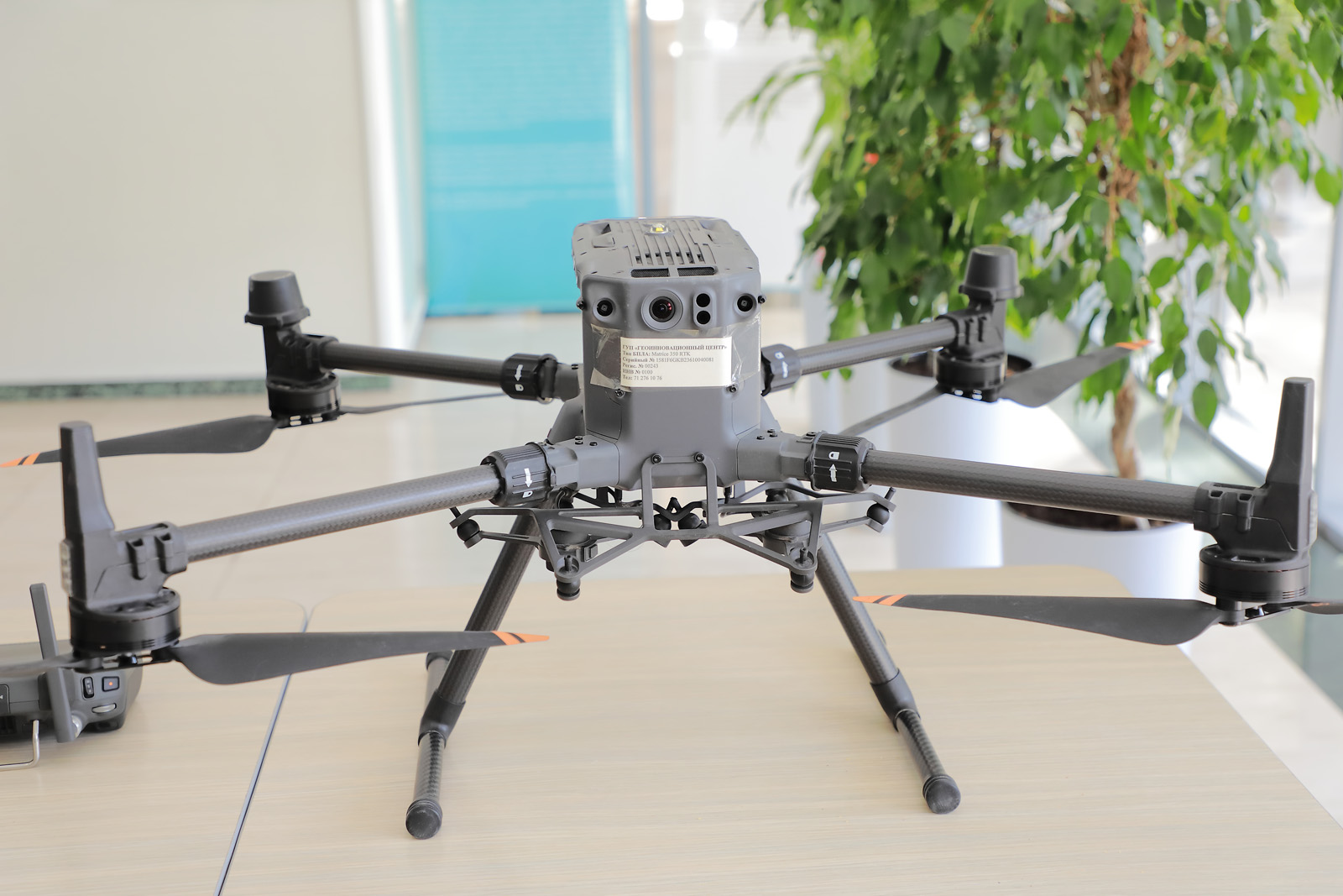
the use of unmanned aerial systems for monitoring agriculture, infrastructure, and natural resources;
laser scanning technologies for 3D modeling of urban areas, industrial facilities, and landscapes;
remote sensing of the Earth for assessing environmental conditions, climate change, and the consequences of anthropogenic activities;
application of open geo-platforms and artificial intelligence in the processing and analysis of spatial data;
integration of geographic information systems into public administration of land and water resources;
experience in digitalizing cadastre systems and developing national spatial data infrastructures.
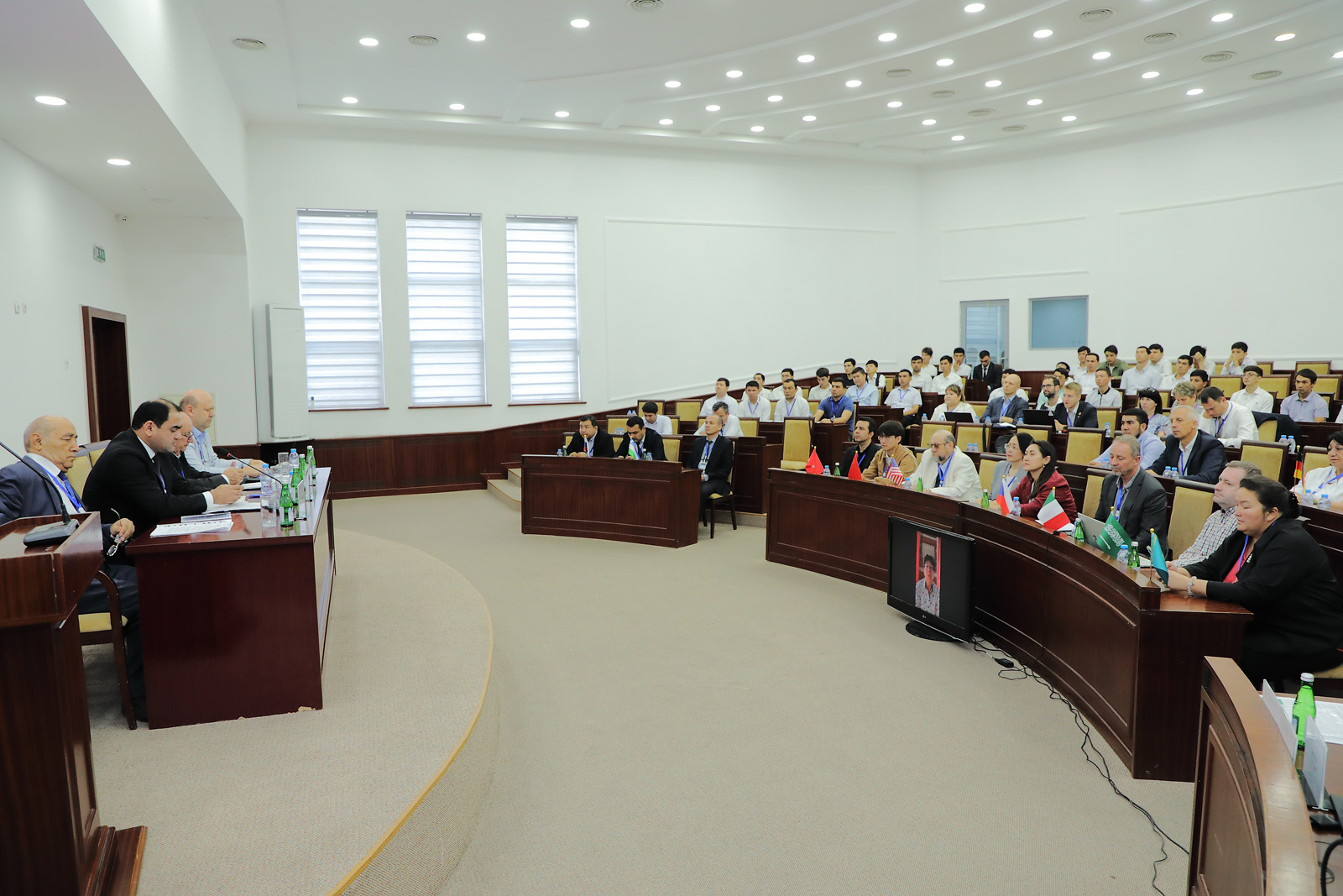
The outcome of the conference was the establishment of a professional environment aimed at strengthening international cooperation in the field of geospatial sciences. Joint research projects and initiatives were outlined to promote the implementation of innovative technologies in industry, ecology, urban development, and public administration.


")

")

")
")

